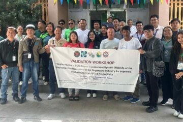
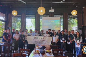
On July 2, 2025, the M3DAS project hosted a specialized technical workshop titled “Data Resource Mapping using QGIS” at the UPLB-BIOMECH headquarters. The session was designed to bridge the gap between academic theory and practical agricultural engineering applications.
Broad Academic Participation
The training saw a diverse group of 21 intern students representing eight premier academic institutions across the Philippines:
Mindoro State University – Main Campus
Central Bicol State University of Agriculture – Pili Campus
Laguna State Polytechnic University – Siniloan Campus
Nueva Vizcaya State University – Bayombong Campus
Philippine Science High School – CALABARZON Region Campus
Northwest Samar State University – San Jorge Campus
Bataan Peninsula State University – Abucay Campus
University of the Philippines Los Baños
Technical Focus: Spatial Visualization and Mapping
The primary goal of the workshop was to equip these future professionals with high-demand skills in QGIS (Quantum Geographic Information System). Participants were guided through:
GIS Fundamentals: Understanding the principles of spatial data and layers.
Data Mapping: Using real-world datasets to create accurate geographical representations of agricultural resources.
Visualization Techniques: Mastering the tools needed to present complex data in intuitive, map-based formats.
Supporting the M3DAS Vision
By training interns on the same tools used for the M3DAS project, BIOMECH is fostering a new generation of experts capable of supporting data-driven agriculture. These skills are essential for the ongoing mission to map, monitor, and assess the mechanization of the sugarcane industry nationwide.
The M3DAS project is a collaborative initiative implemented by UPLB-BIOMECH, funded by DOST-PCAARRD, and carried out in partnership with the DA-SRA.


0 Comments